
Los Angeles County Neighbor Sources
A Los Angeles County block lookup is a source-matching exercise. GIS and the Assessor show parcel shape, AIN, situs, and physical facts. A deed shows named parties to a transfer. Permits show project roles. A voter file is restricted and the public self-check is not a block search. Reverse directories and released census schedules provide historical neighbors. Civic organizations publish public contacts, not a private member roll.
| Source | What It Shows About a Block | Access |
|---|---|---|
| Assessor and GIS | Parcel pattern, AINs, situs, and assessment facts | Free map; identity limits apply |
| Permit and planning cases | Construction, applicant, and address trail | Correct city or county portal |
| Reverse directories | Historical occupants in house-number order | LAPL selected years |
| Released census | Households enumerated near one another | Schedules through 1950 |
| Voter file | Nearby registered voters for a qualified purpose | Restricted order; no public browse |
| Civic organizations | Public officers, meetings, and service area | Official organization pages |
Owners and occupants are not interchangeable. A parcel may have a mailing address that differs from the situs, and unlisted household members may appear nowhere in a public property result. Los Angeles County neighbors therefore need a record role before a name becomes useful.
Los Angeles County Neighbor Parcel Map
The Los Angeles County GIS Data Portal and Assessor map support an adjacent-parcel method. Search the known address or AIN, zoom to the target, click its polygon, and record the AIN and available attributes. Then click each adjoining polygon individually. Use layer controls for boundaries, zoning, districts, census geography, hazards, or imagery when those layers are present. Record the map date and scale.
- Normalize the address and verify the postal city and jurisdiction.
- Find the target parcel in the Assessor or county GIS map.
- Write down the target AIN, situs, legal description, and map date.
- Click nearby parcels one at a time and create a block table.
- Use a deed, permit, civic, or historical source only when it answers a separate question.
A public viewer may not have a buffer or export control. Do not imply one. For Los Angeles County neighbors, a polygon is not a deed or survey, and an adjacent AIN does not identify every person at the address.
Los Angeles County Neighbor Block Table
A Los Angeles County block table prevents the block from becoming a string of unsupported guesses. Use one row per parcel and keep the source and date beside each field. The AIN is the parcel key. Situs is the physical location. Mailing is correspondence information. A person name should be labeled as owner, grantor, grantee, permit applicant, public officer, historical householder, or another record role.
- Adjacent parcel
- A parcel that touches or lies next to the target parcel on the public map.
- Situs
- The assessed physical location, not a statement about who occupies it.
- Public contact
- A name and role an organization publishes for civic communication.
- Historical neighbor
- A person listed near the target address in a dated directory or census.
Use a location label precisely. “Los Angeles” can mean the county, city, postal city, metro area, or court district, and each can route a record differently.
Los Angeles County Neighbor Parcel Facts
The Assessor result may show AIN, situs, legal description, use code, land and improvement values, tax-rate area, square footage, year built, beds and baths for residential property, and map context. Public owner display is restricted online. A mailing address can differ from the situs for ordinary reasons, so it should not be read as proof that someone lives somewhere else.
County GIS can add city or unincorporated-community boundaries, zoning, supervisorial districts, census geography, hazards, and aerial imagery. These layers explain the block. They do not supply utility records, delivery data, DMV details, or a household relationship list. If the question is who owns a parcel, use the permitted ownership and recorder route. If the question is who is nearby today, public evidence may be incomplete.
The parcel starting point is the Los Angeles County Assessor Portal.
Los Angeles County Historical Neighbors
LAPL reverse directories place people by street and house number in selected years: 1906, 1927, and 1956 through 1987. City directories add alphabetical entries and address clues from 1873 forward, with a digitized selection within 1875 through 1987. Released census schedules can show households that were enumerated near one another through 1950.
Search the period address form, including `h` or `r` when the LAPL OCR expects a householder or resident prefix. Try old street abbreviations and named or numbered variants. A historical Los Angeles County neighbor may be a householder, business, or person in the same enumeration area. Mark the year and source role.
The broader full-street chain belongs in the Los Angeles County by-street directory; the block view stays focused on adjacent parcels and nearby community contacts.
Los Angeles County Neighbor Permits
Los Angeles County permit and planning cases can help explain a neighboring parcel's visible change. A record may name an applicant, owner, architect, contractor, project address, permit number, valuation, scope, dates, and status. These are project roles. They should not be converted into a claim that the person lives at the parcel.
Identify the correct city or county office first. A City of Los Angeles permit is not a Long Beach or Pasadena permit, even when both deeds are recorded by Los Angeles County. For unincorporated territory, applicable Public Works or Regional Planning routes matter. A case number and dated address are stronger than a general name match.
Los Angeles County Neighbor Voter Limits
The Los Angeles County voter verification page is a self-check, not a public block list. It requires last name, birthdate, house number, and ZIP. A qualified voter-file order has a permitted purpose, applicant and beneficiary information, geography, file selection, security plan, and certification. Elections Code section 2194 limits access to electoral, scholarly, journalistic, political, or governmental purposes.
A lawfully released file can include residence and mailing address, registration date, precinct, district, party preference, status, and participation history where releasable. Protected identifiers, signatures, and protected participant addresses remain excluded. This route is not casual neighbor research and does not reveal ballot choices.
The public self-check is at the Los Angeles County Voter Registration Verification page.
Los Angeles County Neighbor Councils
Los Angeles City has 99 neighborhood councils with public board, meeting, and contact information. Those civic bodies are not resident-membership directories. Elsewhere in Los Angeles County, incorporated cities, chambers, homeowner groups, block clubs, and sheriff or LAPD community programs vary by geography. Inventory only an organization whose official page confirms the area it serves.
| Neighborhood councils | Public board names, agendas, meetings, and service-area contacts. |
|---|---|
| Chambers | Business-member or civic information, not household membership. |
| Homeowner groups | Public contact route may exist; private member rosters are not assumed public. |
| Community safety programs | Public program contacts and meeting information, not private participant data. |
The official community-safety reference used for local context is the LAPD Community Safety Partnership page.
Los Angeles County Neighbor Records
Business entities, professional licenses, and unclaimed-property indexes can add a public affiliation to a block question about Los Angeles County neighbors. California bizfile can return an entity name and number, status, jurisdiction, addresses, agent, reported officers or managers, filing dates, and PDFs. The State Controller's unclaimed-property search can return an owner-name and location lead, but a claim needs identity proof. Neither is a household list.
The business search image is linked to California Secretary of State bizfile.
A business address or agent role is an affiliation. It does not prove a home address or identify all neighbors at a parcel.
The unclaimed-property search image comes from the California State Controller owner-name lookup.
Unclaimed property is a lead for a person or estate, not evidence of a current block address.
Los Angeles County Address Confidentiality
Safe at Home provides eligible survivors and specified reproductive-health or public-facility participants with a substitute mailing address and mail forwarding. Enrollment happens through an enrolling agency. The program does not retroactively purge every deed, court file, or historical directory. Public-safety officials, stalking victims, minors, and protected participants require restraint even when a weak clue appears.
The confidentiality-program image is from the California Secretary of State Safe at Home route.
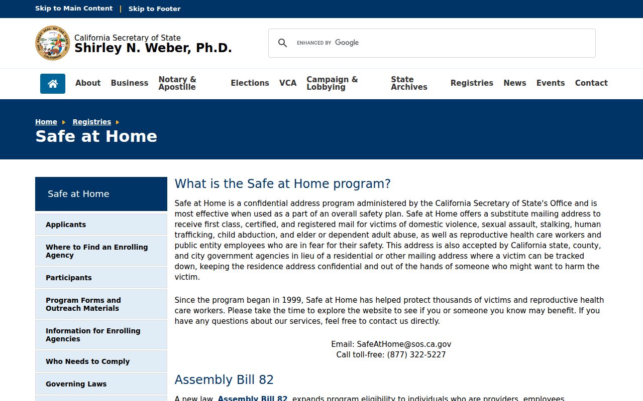
A protected address is not a research puzzle to defeat. Stop when the record signals a safety boundary.
Los Angeles County Privacy Options
California's consumer privacy regime gives qualifying consumers rights to know, delete, correct, limit use or disclosure of sensitive information, and opt out of sale or sharing, subject to exceptions. The Delete Act and California Privacy Protection Agency process apply to covered businesses and data brokers. They do not automatically erase lawful government records, recorded instruments, or library holdings.
A category-level opt-out process means finding the exact profile, using the provider's privacy route, limiting new information, saving confirmation, and checking again later. Use the relevant state agency route for a covered business. Do not pay a record-solicitation letter merely because it quotes a public deed.
The California privacy reference shown below is the California Attorney General CCPA page.
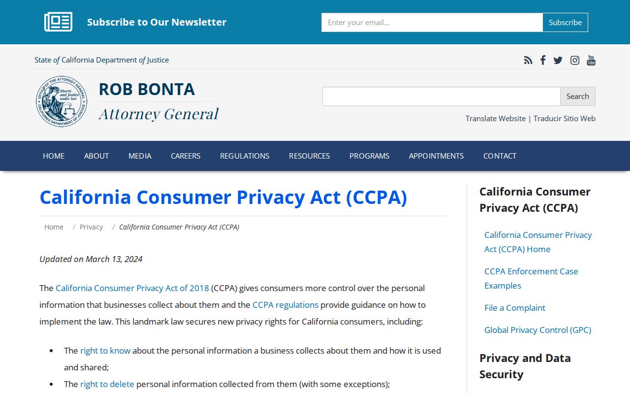
Privacy rights and public-record rules operate in different systems. Use the rule that matches the custodian.
Los Angeles County Neighbor Lookup Limits
Official rolls and commercial neighbor tools have different strengths, and neither is a complete household source. Official results have a named custodian and a defined record purpose. Commercial services may combine public and commercial data, stale addresses, and same-name matches. A category comparison helps keep the result in proportion.
| Source category | Useful clue | Limit |
|---|---|---|
| Assessor and GIS | AIN, parcel shape, situs, physical facts | Owner display and occupancy are limited |
| Deed and court records | Named parties, case roles, dates, geography | Not a household or current-neighbor roster |
| Historical directories and census | Past householder and nearby household clues | Selected years, omissions, old address forms |
| Commercial directory category | Possible aggregated contact lead | May be stale, costly, conflated, or incomplete |
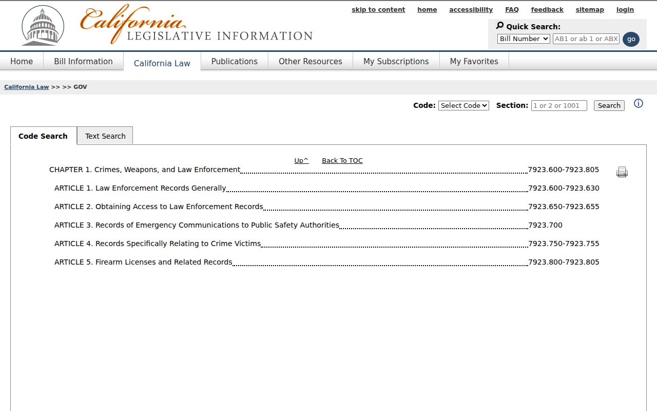
The California Public Records Act provides a request path for identifiable existing records, but it does not require an agency to create a neighbor roster or disclose exempt personal information. The governing text is the California Legislative Information CPRA.
Lawful use. Los Angeles County neighbors can be approached through public civic contacts, family history, block curiosity, and personal safety awareness. Do not use a map, record, or lookup to stalk, harass, threaten, intimidate, impersonate, or harm anyone.