
Finding Los Angeles County Street Residents
A street search should move from the known address to the most stable parcel key, then to names and dates. Los Angeles County has independent cities beside unincorporated territory, so identify the local jurisdiction before opening a permit or planning file. Keep the exact street suffix, direction, city label, ZIP, and search date. The goal is a documented Los Angeles County chain, not a guess about every person at a house.
- Normalize the address and run it through the Assessor Portal. Save the AIN, situs, legal description, and map context.
- Open the county GIS gateway, select the parcel, and click adjoining polygons one at a time. Record each neighboring AIN.
- Route the address to the correct city or county permit and planning system. Treat applicants and contractors as project roles.
- Use an ownership clue to form a grantor, grantee, year, and document-type request at the RR/CC recorder.
- Compare known names with the voter self-check and with the selected reverse-directory years for past occupants.
When the question shifts from a whole street to one person, a name-based Los Angeles County resident lookup uses a different cross-check.
Los Angeles County Street AIN Search
The Los Angeles County Assessor Portal offers Basic Search, Legal Search, and Map Search. Its central prompt accepts “AIN or Address.” An AIN is a ten-digit Assessor Identification Number that follows the parcel more reliably than a postal label. The resulting card can include the situs address, legal description, use code, assessed land and improvement values, tax-rate area, square footage, year built or effective year, residential beds and baths, and map context.
Public owner names may be suppressed online. That is an access rule, not a broken search. For a Los Angeles County street directory, the AIN remains useful even when no person name appears. District-office review or the Property Data Sales channel may be the lawful route for information not shown in the internet result, and the address-to-AIN step gives the deed request a legal description and a parcel anchor.
| Basic Search | Address or AIN oriented search mode. |
|---|---|
| Legal Search | Legal-description route for parcel research. |
| Map Search | Spatial browsing and click-to-select parcel mode. |
| Search by AIN or Address | Autocomplete text field; use a normalized street form. |
| Search | Runs the selected query. |
The parcel-search image comes from the Los Angeles County Assessor property-search guidance.
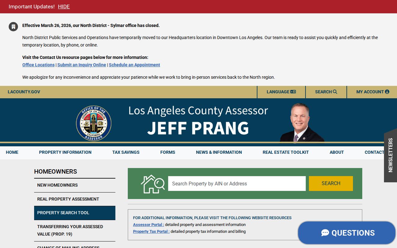
Save the AIN before looking across the street. It is a bridge to GIS and deeds, not a roster of people who occupy the parcel.
Los Angeles County Street GIS Parcels
The Los Angeles County GIS Data Portal adds spatial context to the Assessor result. Search by address or AIN, zoom to the target, click its polygon, and note the available layers. Adjacent parcels must be clicked individually. The public viewer may show city boundaries, unincorporated communities, zoning, supervisorial districts, census geography, hazards, and aerial imagery, depending on the layer set and map date.
A useful block record is a parcel-by-parcel worksheet with AIN, situs, jurisdiction, map date, and the question being tested. Do not turn a polygon into a claim about an unnamed household member. The map is not a deed, and a boundary line is not a survey. If a buffer or export control is absent from the public viewer, it should not be implied.
Street geography is especially important in Los Angeles County because postal cities, incorporated cities, and court districts can use the word “Los Angeles” in different ways. Store the map date and scale beside every parcel note.
Los Angeles County Street Records
Los Angeles County address-keyed records answer different questions. A parcel record supplies the property key. GIS shows what touches it. A permit can name an applicant or contractor. A deed records parties to an instrument. A voter self-check works only for a known person with all four required facts. Reverse directories place historical occupants in street order. The chain below keeps those meanings separate and makes the Los Angeles County street directory easier to audit.
| Record Set | Keeper | What It Shows | Access |
|---|---|---|---|
| Assessor parcel record | County Assessor | AIN, situs, legal and structural facts | Free portal; owner display limited |
| GIS parcel map | LA County GIS and planning | Adjacent parcels and available geography | Free public viewer |
| Recorded instruments | RR/CC Recorder | Grantors, grantees, liens, releases | Name/year request; copies vary |
| Permits and planning | Correct city or county office | Project roles, case, work, and dates | Jurisdiction-specific portal |
| Reverse directories | LAPL | Historical occupant and business entries | Selected years, browse/search |
The AIN ties the parcel to GIS and can help frame a lawful recorder request. It does not make the recorder searchable by address. A street name ties the sources together for reading, not for assuming that every row describes the same person.
Los Angeles County Street Address Labels
Situs is the physical location of the assessed parcel. Mailing is the destination for assessment or tax correspondence. A mailing address can differ from the situs because of ownership structure, chosen correspondence destination, or another ordinary reason. Neither field proves who sleeps at the property.
In a Los Angeles County street directory, the distinction matters because the public assessor result may expose physical and assessment facts while suppressing the owner identity. A deed can show a named party's transaction. A reverse directory can show a historical householder. Those records should be described as parcel, transaction, or historical occupancy evidence rather than a live household roll.
- Parcel
- A mapped piece of land with an AIN and legal description.
- Situs address
- The physical location assigned to the assessed parcel.
- Mailing address
- The correspondence destination, which may differ from the situs.
- Plat
- A recorded or mapped plan that helps identify lots, blocks, and tract relationships.
Los Angeles County Street Recorder Limits
Los Angeles County RR/CC does not offer an open remote property-record database searchable by street address or APN. Its FAQ says the real-estate records are filed by grantor, grantee, and recording year. A precise document number is preferred. Without one, a requester needs a party name, year, and document title or type. Online ordering, written copies, and in-person viewing are different access channels.
The recorder's holdings are described from 1850, while viewing guidance uses 1851 for the older index range. Older material is not absent because a web box returns no result. Visit or contact RR/CC, use the authorized copy route, or ask the LA County Archives about a transferred record group. The full instrument may show legal description, recording date, execution date, book or page, and related parties.
The image below is linked to the RR/CC real-estate FAQ and street-search limitation.
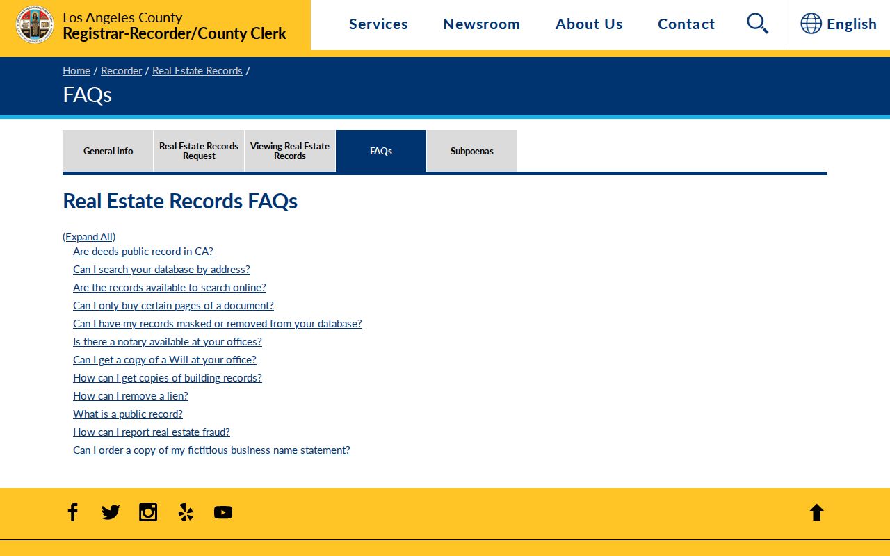
A street address is a starting key. The recorder's name-and-year index is the conversion step.
Los Angeles County Street Deed Chain
Once a lawful ownership clue is available, a Los Angeles County chain of title can move backward. The current grantee is the buyer or recipient named on an instrument. The grantor is the seller or transferor. Search the grantor as an earlier grantee, constrain the year, and repeat. Record document number, recording date, execution date, legal description, and any lot, block, or tract terms that survive a change in street form.
- Normalize the current address and obtain its AIN and legal description from the Assessor.
- Identify the current ownership or deed reference through permitted Assessor or recorder channels.
- Order the acquisition deed and write down both parties, dates, number, and legal description.
- Use the seller as the next grantee, then continue backward by name and year.
- Switch to the counter, archives, maps, and copy route when the online path ends.
The chain proves recorded transfers. It does not fill the gap between an owner and the people who lived at the address.
Los Angeles County Reverse Directories
Los Angeles Public Library's street-reverse collection is the historical tool closest to a Los Angeles County street directory. The documented runs are 1906, 1927, and 1956 through 1987. A reverse volume reorders evidence by street and house number, so a searcher can see an occupant or business and nearby entries for a selected year. It is not a current countywide roster, and the coverage of independent cities and older communities varies.
Search forms matter. LAPL notes that a full-text address can require the householder or resident prefix, such as `h443 N Av 52`; bare digits may miss the entry. Try “Ave 64” and “Avenue Sixty-Four,” and test “Broadway” and “Bway.” Numbered avenues and streets can file before, after, or among named streets. A missing hit may reflect a move, death, omission, renumbering, annexation, or changed surname.
The historical volumes belong to the library collection, while the current Los Angeles County street directory path belongs to parcel, deed, permit, and carefully limited voter evidence.
Los Angeles County Street Permits
Address-keyed permits, planning cases, code cases, council files, and historic surveys can add a project timeline. A permit may name an applicant, owner, architect, contractor, project address, permit number, valuation, scope, dates, and status. Those names prove participation in work at the address, not residence there.
Route the search by jurisdiction. The City of Los Angeles uses its own building and planning tools, while Pasadena, Long Beach, Beverly Hills, Santa Monica, and other cities operate their own systems. LA County Public Works or Regional Planning handles applicable unincorporated places. The county GIS planning gateway can help identify the city or unincorporated community before a permit search.
The map source for jurisdiction and planning layers is the LA County Planning maps and GIS page.
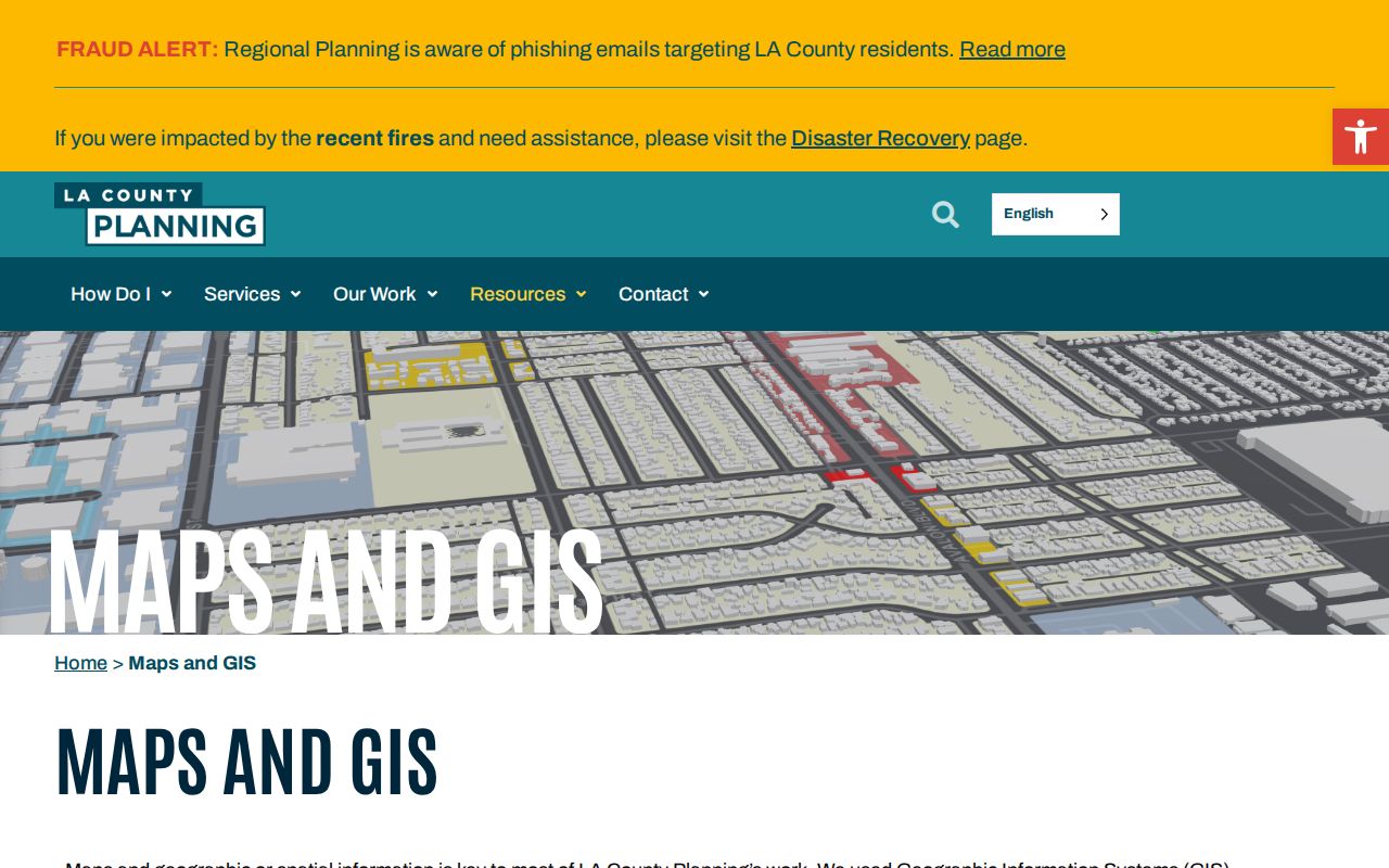
A permit trail is strongest when its address, case number, dates, and parcel context match other sources.
Los Angeles County Street Voter Data
The public voter tool cannot browse a street. It checks a supplied last name, birthdate, house number, and ZIP. A qualified voter-file order is a separate process with a permitted purpose, applicant and beneficiary identity, geography, file choices, security plan, and statutory certification. The published county page describes media delivery by mail or in person at the Norwalk election-information office, while other qualified requesters should contact RR/CC.
California Elections Code section 2194 limits voter information to electoral, scholarly, journalistic, political, or governmental purposes. A lawfully released file may contain names, registration dates, residence and mailing addresses, precinct or district, party preference, status, and participation history, but protected fields remain excluded. This is not authority for casual block research. Qualified file details are published on the Los Angeles County Voter Information Requests page.
Los Angeles County Street Changes
Modern address forms do not travel cleanly through Los Angeles County history. Annexations, independent cities, duplicated street names, numbered avenues, and historic renumbering can move a parcel between local record systems. Grand Avenue changed from Charity Street in 1887. Tenth Street became Olympic Boulevard around the 1932 Olympics, and Weller Street became Astronaut Ellison S. Onizuka Street in 1988.
For older work, keep the contemporary street form beside the modern one. Since 1945, First and Main has served as the house or block numbering origin in the local addressing account, with Century Boulevard marking roughly 100 blocks south. Unincorporated county addressing follows its own policy, while incorporated cities control their own assignment. A failed modern search is not proof that an older address never existed.
Los Angeles County Street Directory Limits
A street directory cannot show unlisted household members, utility customers, delivery records, or protected addresses. DMV personal information is restricted by federal and California rules. A neighborhood council can publish board contacts and meeting records, but not a private membership list. An owner mailing address is not a live occupancy record, and a permit applicant is not automatically a resident.
Lawful use. Los Angeles County address records are useful for personal, lawful research, family history, house history, and civic understanding. Do not use a street search to stalk, harass, threaten, intimidate, or harm anyone.
When the question is who lived at one address before, use the Los Angeles County past-residents trail for deeds, reverse directories, census pairing, and obituaries.